Watergardens
Full Ride
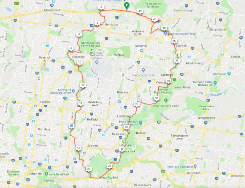
From Uni Hill we follow the M80 Ring Road Trail to St Albans where we turn off onto a path under high voltage transmission lines to the path along the Sunbury rail line. At the present end of that path, we ride on-road making our way to the Kings Rd Shared Path and follow that to Watergardens for a rest stop. (About 40kms so far. There’s also an alternative slower route.) After refreshments, we make our way along Melton and Old Calder Highways (bike lanes or paths) (optional Taylors Creek Path), through Keilor Village to the Keilor Bike Trail (Brimbank Park). We find our way onto the M80 Ring Road Trail via Airport West GreenSpine Easement and back to the start point.
Shorter Ride
Riders have the option to take a train back from Watergardens via the city. Check with railway operator for timetables and disruption information
Full Length: 75 Km
Short Length: 40 Km
Difficulty: Hard
Elevation: Hilly
Path Types: Shared User Path (Concrete/Asphalt)
Arterial Roads
Residential Roads
On-Road(No Bike Lane) ≤ 50 km/h
On-Road(w/ Bike Lane) ≤ 80 km/h
Trails: Taylors Creek
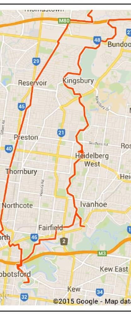
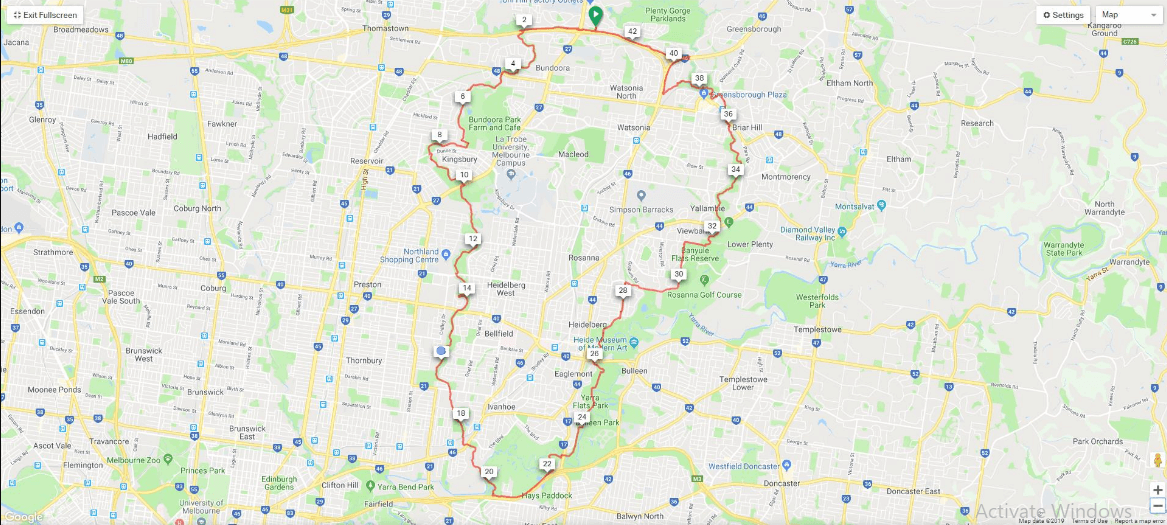
Ride Map


Leave A Comment