TravelSmart
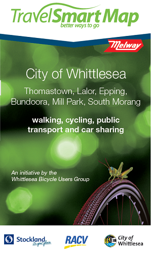
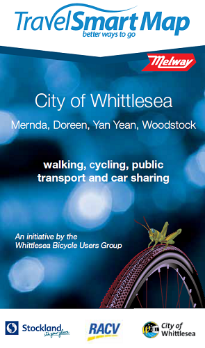
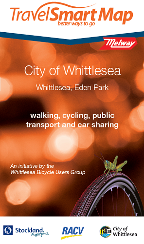
TravelSmart Maps
The TravelSmart Maps were developed as an initiative of the Whittlesea Bicycle Users Group (BUG) to provide sustainable transport information on a pocket sized complete street map with standard Melways references.
The maps provide detailed information about bicycle, walking and public transport routes within the City of Whittlesea, making it easier for you to choose a sustainable way to travel.


